Synopsis:
Finally a refreshing air mass has moved into the region. High pressure is of a cooler origin. This will result in more seasonal readings with very low humidity. Nights will be crisp-fall-like. It’ll warm up for midweek but the cool air will once again invade the area by weeks end with another Canadian high pressure system moving in.
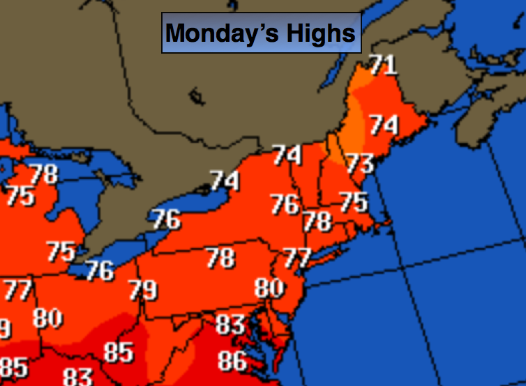
Today:
Sunny and seasonal with readings in the upper 70s. Northeast to Southeast wind at 8-12mph.
Tonight:
Clear and cool Lows in the mid 60s in the City, near 50º inland. South to Southwest wind under 5mph.
Tuesday:
Sunny. Highs in the lower 80s.
Wednesday:
Partly sunny, warmer with highs in the mid to upper 80s.
Thursday:
Sunny and much cooler. Temperatures will be in the mid 70s.
Friday:
Sunny with seasonal readings. Highs will be in the mid to upper 70s.
Many areas are in a drought and the forecast doesn’t look good for significant/widespread rain the next several days.
Stay Tuned.
Keep it here for a no nonsense, no hype forecast.