Synopsis:
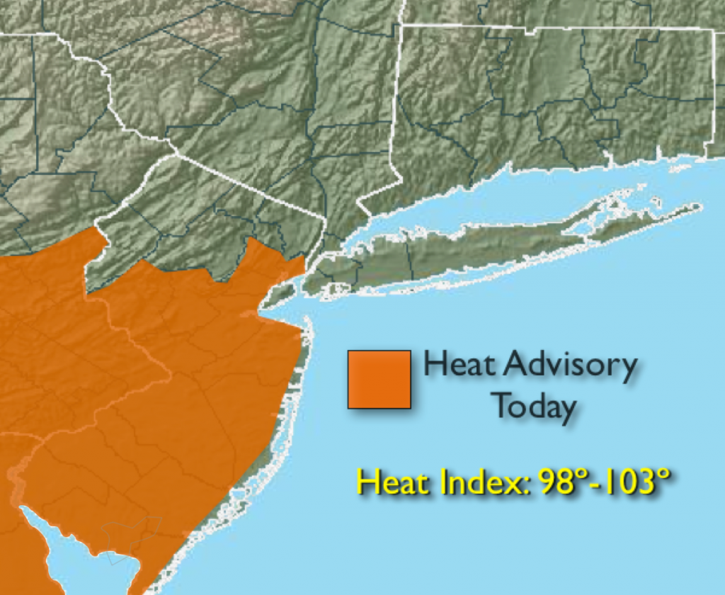
An area of high pressure over the Southeast dominate our weather through Saturday. This high will continue to pump up a hot and humid airmass. Many areas will experience a September heat wave with readings at or above 90º on Saturday. Some areas may not have 3 consecutive days of 90º or higher, which constitutes a heat wave, but it will be uncomfortable never the less. A Heat Advisory has been posted for central and Southern NJ through Saturday for a heat index of 98º-103º. A cool front will sweep through Saturday night and Sunday morning with limited showers or storms. It’ll be much more comfortable Sunday afternoon with lower humidity and temperatures.
High pressure will move in for the beginning of the workweek with more seasonal September readings. A string of beauties are on the way.
Today:
Hazy, hot and humid with highs around 90º. A stray storm is possible, most areas will remain storm-free. Southeast to South wind at 10-20mph.
Tonight:
Partly cloudy and muggy with spotty storms. Lows in the mid 70s in the City, around 70º inland. Winds Southwest at 10-15mph.
Sunday:
Spotty morning showers and storms otherwise becoming mostly sunny and less humid by afternoon. Highs in the mid 80s.
Monday:
Sunny and more seasonal with highs around 80º.
Tuesday:
Sunny with readings in the lower 80s.
Wednesday:
Sunny with readings in the lower 80s.
Many areas are in a drought and the forecast doesn’t look good for significant/widespread rain the next several days.
Stay Tuned.
Keep it here for a no nonsense, no hype forecast.