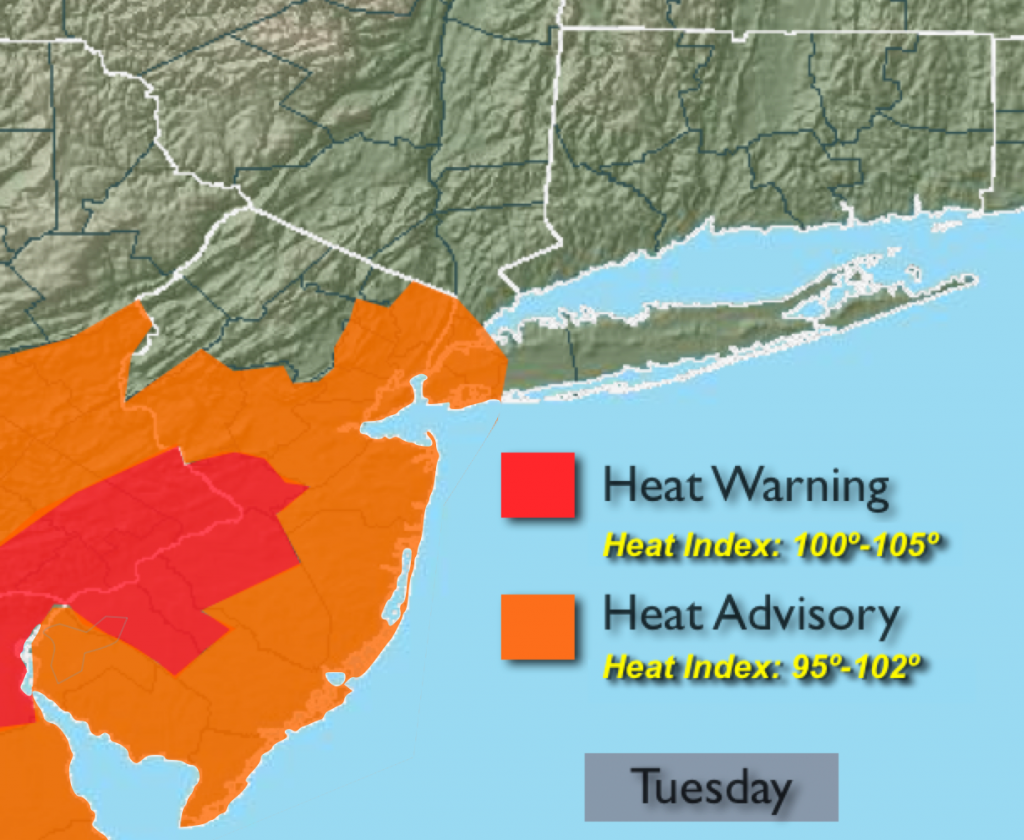
Synopsis:
The heat wave may end today in many areas if the temperature doesn’t reach 90º. It’ll be close for the City. If the mercury hits 90º or higher in Central Park it’ll be day 6 of the heat wave (consecutive days of 90º plus). The humidity once again will soar making for a heat index within a few degrees of 100. Showers and thunderstorms are possible just about anytime under hazy skies. Some of the storms may become severe later in the day. Keep any eye to the sky for threatening weather conditions after 2pm. A cool front (more like a humidity buster) will move through by Wednesday morning. This will result in warm but less humid conditions into Friday- a welcome relief.
Today:
Hazy, very warm and humid with scattered thunderstorms. Some of the thunderstorms may contain damaging winds. Highs within a few degrees of 90. South wind at 10-2omph.
Tonight:
Scattered evening thunderstorms otherwise partly cloudy.. Lows in the mid 70s in the City and urban corridor, 65º-70º inland. South wind will become West at 8-12mph.
Wednesday:
Partly sunny with low humidity. Highs in the upper 80s.
Thursday:
Partly sunny. Highs in the upper 80s.
Friday:
Partly sunny with readings in the upper 80s.
Saturday:
Mostly sunny. Highs in the mid 80s.
Stay Tuned.
Keep it here for a no nonsense, no hype forecast.