Synopsis:
High pressure off the coast will establish a tropical airmass over the region today. The push of humid air along with a weak disturbance in the upper atmosphere will cause hit or miss showers and thunderstorms today. Many areas will be storm-free. As the region gets deep into a Southwest flow Thursday through Saturday the threat of afternoon storms will be in the spotty category. Much the time will be dry. Besides the PM storm threat, the 3 H’s will be the top story. Temperatures will top 90º late week into the weekend with high levels of humidity. The heat index will approach 100º in many areas. A potential heat wave is on the way. Yes, August’s unpleasant side will be with us for some time.
Today:
Mostly cloudy and very humid with readings in the mid 80s. Spotty thunderstorms are possible just about any time. Southwest wind at 10-20mph.
Tonight:
Mostly cloudy with isolated storms. Muggy and warm with lows in the 70s throughout. South wind at 5mph.
Thursday:
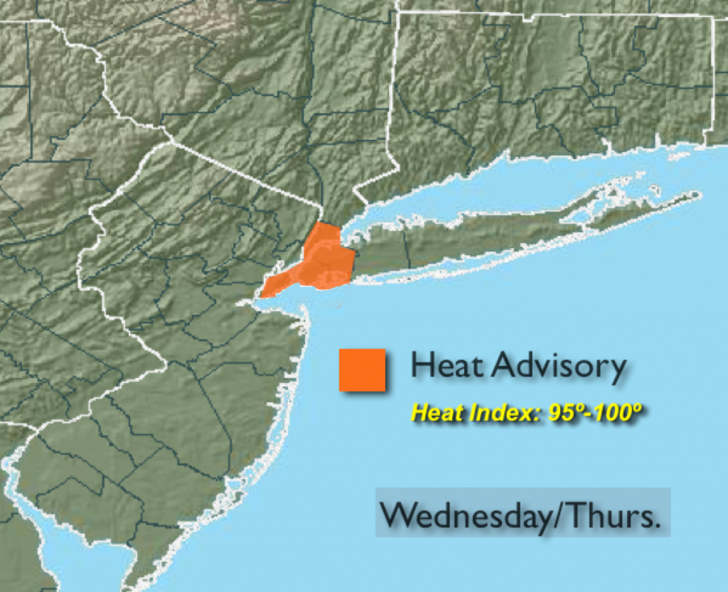
Hazy, hot and humid. A spotty afternoon storm is possible. Highs around 90º.
Friday:
Hazy, hot and humid with spotty PM storms. Highs in the lower 90s. Heat index around 100º.
Saturday:
The heat will peak. Hazy, hot and humid with spotty PM Storms. Highs in the lower to mid 90s. Heat index 100º-105º.
Sunday:
Hazy, hot and humid with scattered thunderstorms. Highs near 90º.
Stay Tuned.
Keep it here for a no nonsense, no hype forecast.