Synopsis:
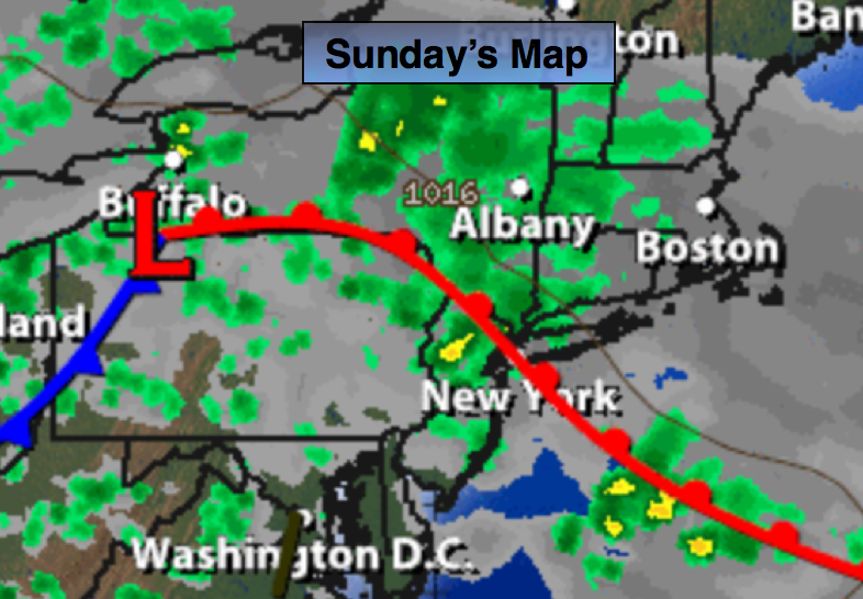
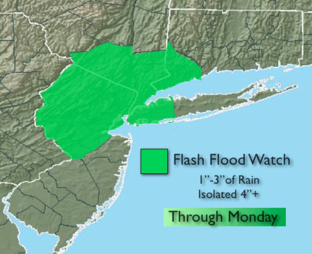
An area of low pressure over Western PA with a warm front extending into the tri-state area will result in on and off showers and thunderstorms through Sunday. It won’t be raining all the time. Some areas may experience times of torrential rain which could cause flooding. A Flash Flood Watch is in effect for the New York City vicinity & Northern NJ through Monday. Please use caution. If you encounter a flooded roadway- TURN AROUND, DON’T DROWN. Some regions may get to see some sun on Sunday, but the majority of the day will be grey.
Today:
Mainly cloudy and humid with the chance of scattered showers and storms. Locally downpours are possible. Highs around 80º. Southeast to East wind at 10-15mph.
Tonight:
Scattered showers and thunderstorms. Some of the rain could be heavy at times. Muggy. Lows in the lower 70s in the City, upper 60s inland. Northeast wind at 5mph.
Monday:
More clouds than sun. The thunderstorm threat remains with highs in the lower 80s. Torrential rain is possible at times.
Tuesday:
Mostly sunny with readings in the lower 80s.
Wednesday:
Sunny and warm with highs in the mid 80s.
Thursday:
Sunny and warm with highs in the mid 80s.
Stay Tuned.
Keep it here for a no nonsense, no hype forecast.