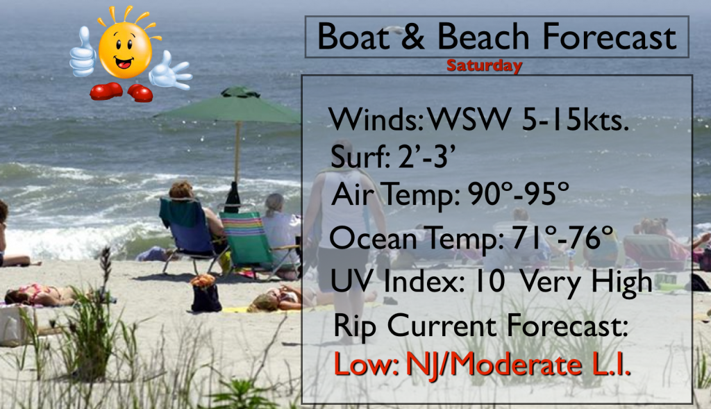
Synopsis:
High pressure over the Southeast will continue to provide hot temperatures through the weekend and into next week. A heat wave is under way and is expected to last another five days. Heat Advisories have been posted for today for Northeastern NJ and NYC for temperatures in the mid to upper 90s. The humidity won’t be much of a factor, as it will lower, as a drier airmass works in from the North, but temperatures will be the hottest they’ve been so far this Summer today. The humidity will be much higher on Monday. For this reason an Excessive Heat Watch is in effect for much of NJ for Monday as the Heat Index will approach 105º.
Little in the way of relief is expected from thunderstorms. A trough (weak front) will move in later Monday and Monday night with another chance of storms.
Today:
Hazy and hot with lowering humidity during the day. Highs will be in the mid 90s to around 100º in highly urban areas. The record for the day is 100º in Central Park set in 2011. West Southwest wind at 10-15mph. Even at the beaches temperatures will be in the 90s with the wind off the land. No sea breezes are expected (map above). Please keep hydrated and listen to your body for signs of heat exhaustion.
Tonight:
Clear and more comfortable. Lows in the mid 70s in City, the 60º-70º inland. Winds Northwest at 5mph.
Sunday:
Mostly sunny and hot with low levels of humidity. Highs will be in the lower 90s.
Monday:
Oppressive with highs well into the 90s. Heat index will be 100º-105º. Hazy with the chance of scattered late afternoon storms.
Tuesday:
Mostly sunny. Highs will be in the lower to mid 90s. Heat index will be 95º-100º.
Wednesday:
The heat wave continues. Mostly Sunny with readings in the lower 90s.
Keep it here for a no nonsense, no hype forecast.