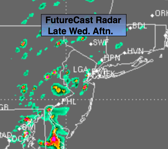
Synopsis:
Temperatures and humidity will rise through the end of the week with readings approaching 90º or above. Isolated storms are possible later today mainly West of NYC with an approaching warm front (FutureCast radar above). Another chance of spotty storms are possible Thursday with a weak disturbance. The heat will peak on Friday with very warm and dry conditions continuing into the weekend.
Today:
Sun and clouds, warmer and slightly more humid. Readings will be in the mid to upper 80s. A stray storm is possible West of the City later in the day. Most areas will remain dry. South wind at 10-20mph.
Tonight:
Mostly cloudy and muggy with widely scattered storms. Lows in the lower 70s in the city, the upper 60s to near 70º inland. South wind at 5mph.
Thursday:
The 3 H’s are back. Temperatures will be around 90º with scattered afternoon storms. Heat index will in the mid to upper 90s.
Friday:
Hazy, hot and slightly less humid with readings in the lower 90s.
Saturday:
Partly sunny, very warm, but not as humid. Highs in the upper 80s.
Sunday:
Partly sunny and very warm. Highs once again the upper 80s.
Keep it here for a no nonsense, no hype forecast.