Synopsis:.
Temperatures will moderate to seasonable averages today under abundant sunshine as high pressure over the Southeast dominates. Warmer conditions are expected for Thursday through Saturday as the high pressure off the Southeast coast continues to influence our region. Once again many areas will be experiencing a Summer preview at least one of the three days! Areas at the coast during this stretch will be much cooler than those just inland with a wind off the colder Atlantic.
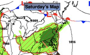
A significant cold front will move into the region on Saturday night and Sunday morning with a period rain. Sunday will not be a washout.
Stay tuned.
Keep it here for a no nonsense, no hype forecast.
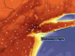
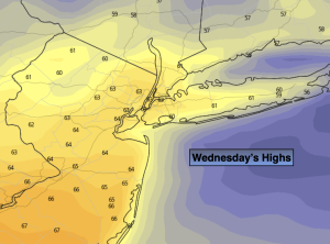
Wednesday:
Mostly sunny. Seasonable. Highs in the lower 60s. West to Northwest winds at 8-15mph.
Tonight:
Partly cloudy. Lows in the upper 40s in the City, the 30s & 40s inland. Light North wind.
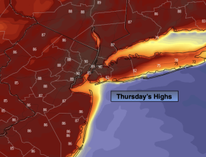
Thursday:
Partly sunny. Mild. Highs in the upper 60s. Warmer inland, cooler at the coast.
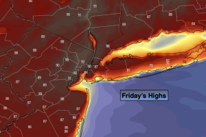
Friday:
Partly sunny. Warmer. Highs around 80º. Warmer inland, cooler at the coast.
Saturday:
Partly sunny. Mild. Highs in the mid 70s. Cooler at the coast.
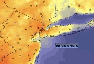
Sunday:
Morning rain to afternoon sun. Highs in the upper 60s.