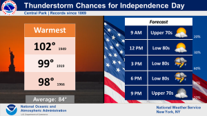
Synopsis:
Typical July conditions will be with us through Friday. A mix of sun and clouds is expected as a weak disturbance sits over the region. Scattered showers are possible this morning with an isolated storm threat this afternoon. Thursday will be bright and storm-free. On Friday another round of showers and storms are possible. This day is the greatest threat day. Readings will be near the seasonable average of the mid to upper 80s.
The weekend will make most smile. Drier conditions are expected with the sun dominating both days as high pressure builds over the area. A winner for sure!
Stay tuned.
Keep it here for a no nonsense, no hype forecast.
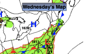
Wednesday:
More clouds than sun. Chance of scattered showers or storms just about anytime. It will not be a washout. Highs in the lower to mid 80s. Variable winds 5-10mph.
Tonight:
Partly cloudy. Lows in the lower 70s in the City the upper 50s to lower 60s inland. Light and variable winds.
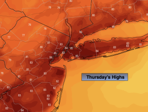
Thursday:
Partly sunny. Highs in the mid to upper 80s.
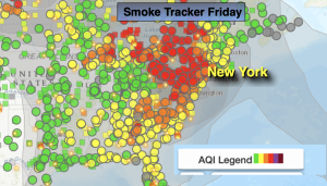
Friday:
Partly sunny. Scattered showers and storms likely. Highs in the mid 80s.
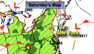
Saturday:
Mostly sunny, not as humid. Highs in the mid 80s.
Sunday:
Sunny. Highs in the mid to upper 80s.