Synopsis:
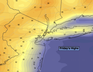
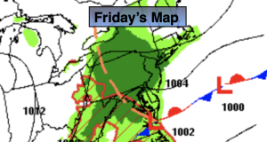
Friday will be raw with on and off rain as a low moves to our South. Temperatures will only be in the mid 50s. Winds will make it all that more miserable.
Showers will taper off later this evening.
Saturday will be the better half of the weekend. There will be a break between systems. Mostly sunny skies are expected. Temperatures will be several degrees below average the average high of 70º.
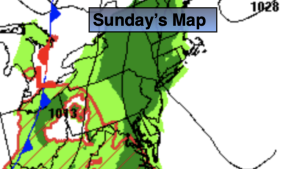
The Mother’s Day forecast is an unsettled one. Another weak low will move through the region from the West. Scattered showers are in the forecast. It won’t be raining all the time but the chill will make itself present.
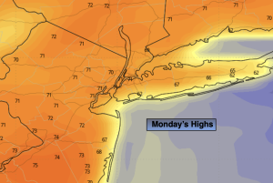
The sun will return for the start of the workweek and it’ll be pleasant.
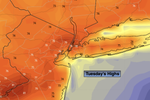
Clouds will roll in on Tuesday. Showers are possible by afternoon. Readings will be near average.
Stay tuned.
Keep it here for a no nonsense, no hype forecast.
Friday:
On and off rain. Chilly and breezy. Highs in the mid 50s. East to Northeast winds at 10-20mph with gusts to 25mph.
Tonight:
Scattered showers ending early in the evening. Lows in the 40s throughout. North winds at 5-10mph.
Saturday:
Mostly sunny. Highs in the lower to mid 60s.
Mother’s Day:
Mostly cloudy. Scattered showers. Chilly. Highs in the upper 50s.
Monday:
Mostly sunny. Seasonable. Highs around 70º.
Tuesday:
Mostly cloudy. Chance of afternoon showers. Highs in the lower 70s.