Synopsis:
Low pressure will continue to move out to sea today. Clouds will give way to some sun. It’ll be cold with readings several degrees lower than the average high of the mid 40s.
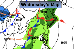
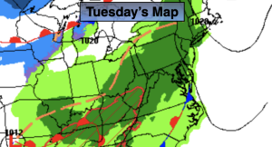
Tuesday and Wednesday will feature sunshine and chilly readings as another high pressure system affects our region from Canada.
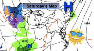
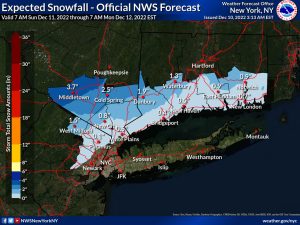
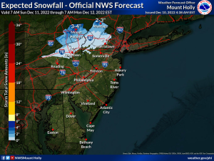
Low pressure developing over the Carolina’s on Thursday will move over or just east of our region through Friday. Thickening clouds Thursday will give way to afternoon rain. Rain is likely at night and into Friday. There maybe a bit of wet snow well North and West but much of the region will be wet and not white.
Stay tuned.
Keep it here for a no hype, no nonsense forecast.
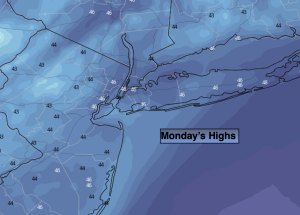
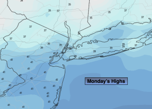
Monday:
Clouds giving way to afternoon sun. Highs in the upper 30s to around 40º. North winds at 8-12mph.
Tonight:
Clear and cold. Lows in the upper 20s in the City, the teens inland. North wind at 5-10mph.
Tuesday:.
Sunny. Chilly. Highs around 40º.
Wednesday:
Sunny. Cold. Highs in the upper 30s.
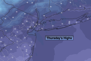
Thursday:
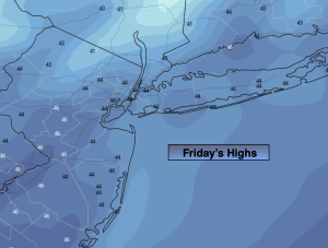
Thickening clouds. Rain likely during the afternoon. Highs in the lower to mid 40s.
Friday:
On and off rain. Wet snow possible well North and West. Highs in the lower to mid 40s.