Synopsis:
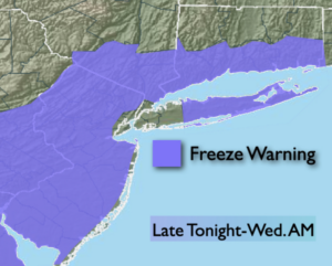
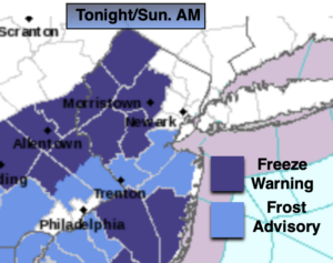
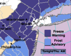
Skies will start off mostly clear tonight but clouds will roll in from the West late. Once again, with a Canadian airmass upon the region most areas will be near freezing or just below. A Freeze Warning has been posted and areas of frost are possible away from the NYC vicinity.
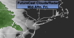
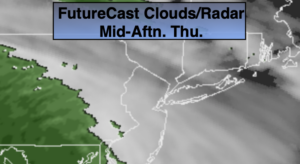
A storm will develop over the Ohio Valley on Thursday. Mostly cloudy skies are expected and and there is an increasing chance of rain through the late afternoon. Friday will be wet as the low passes through the region.
Hopefully, we’ll squeeze out a dry Saturday as we’ll be in between systems.
A Sunday spoiler is on the way with more rain in the forecast.
This is definitely Spring’s mean side.
Stay Tuned.
Keep it here for a no nonsense, no hype forecast.
Tonight:
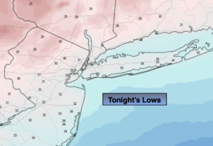
Clear to partly cloudy. Areas of frost away from the coast. Lows near 40º in the City, the 20s to around freezing in the ‘burbs. Northwest winds diminishing to 5mph.
Thursday:
Any morning sun will give way to thickening clouds. Rain will move in during the late afternoon. Highs in the lower 50s. West to East winds at 5mph.
Friday:
Rain likely. Highs in the lower 50s.
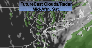
Saturday:
Mostly sunny. Highs in the upper 50s.
Sunday:
Rain likely. Highs in the lower 50s.
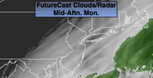
Monday:
Mostly cloudy with scattered showers. Highs in the lower to mid 50s.