Synopsis:
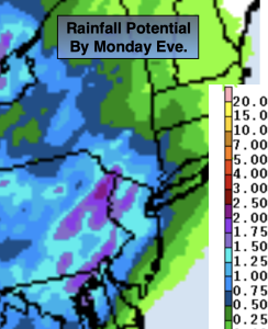
Unsettled conditions are expected tonight through a part of Tuesday as low pressure developing over the Midwest moves into the Ohio Valley and then into New England. There will be a few chances of rain and thunderstorms as waves of energy and fronts move around the low. The first chance is tonight into early Monday morning (rainfall map above). The second chance is Monday night and the third chance is more isolated with a few storms possible on Tuesday afternoon. The first two rounds may contain torrential rain. Hazy sun and clouds are expected Monday and Tuesday.
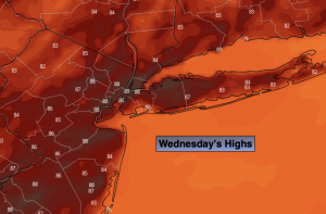
The low will push well North of our area on Wednesday leaving us with a midweek delight. Sunny skies and less humid conditions are expected. This fab weather will continue for Thursday. A few more clouds are expected for Friday. At this time JMW is keeping it dry.
Stay tuned.
Keep it here for a no nonsense, no hype forecast.
Tonight:
Mostly cloudy. Showers and thunderstorms possible late. Locally heavy rain. Lows in the 60s throughout. Southeast winds at 5mph.
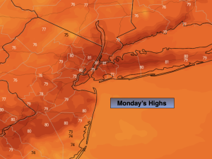
Monday:
Morning showers giving way to hazy skies. Humid. Chance of showers and storms during the evening and night. Highs in the upper 70s.
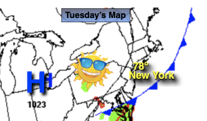
Tuesday:
Hazy, warm and becoming humid. Spotty afternoon storm. Highs in the mid 80s.
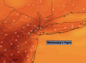
Wednesday:
Mostly sunny, warm and much less humid. Highs in the mid 80s.
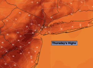
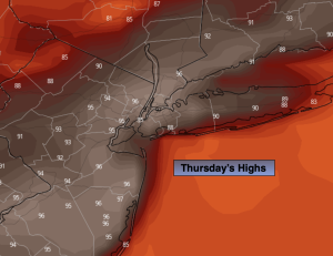
Thursday:
Partly sunny. Highs in the mid 80s.
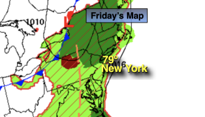
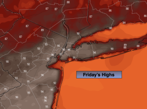
Friday:
Clouds and sun. Highs in the mid 80s.