Synopsis:
We’ll finally come out of the deep freeze we’ve been in since Christmas Night. The polar vortex is moving out and will be replaced by a more zonal jet stream, meaning a mild flow. A January thaw is on the way for the remainder of the week.
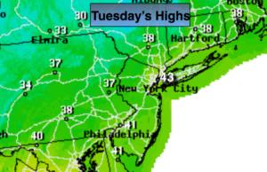
High pressure will dominate today and Wednesday with tranquil conditions and readings above freezing. The high will move offshore Thursday. The return flow will allow the mercury to reach highs of ten degrees above average. The average high is 38º.
A significant ridge will develop with the jet stream this will allow a Southerly flow to develop ahead of the front and storm system. Very warm air will work up from the South. Rain is likely Friday and Saturday with the approaching systems. Highs will reach into the 50s! Snow melt for sure.
If the storm on Saturday forms farther East or if the stationary front slips to our South colder air may work in changing the rain over to snow or sleet or freezing rain for a time later Saturday. This is a long shot but we have may days to look at this possible scenario.
Stay tuned.
Today:
Partly sunny, milder. Highs in the lower 40s. West to Northwest winds at 8-12mph.
Tonight:
Mostly clear. Lows in the upper 20s in the City, the teens inland. Light Northwest winds.
Wednesday:
Morning sun, afternoon clouds. Highs in the mid to upper 30s.
Thursday:
Partly sunny. Mild. Highs in the upper 40s.
Friday:
Periods of rain. Balmy. Highs in the 50s.
Saturday:
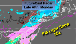
Periods of rain. The rain could turn to a mix North of the City. Highs in the 40s.
Keep it here for a no nonsense, no hype forecast.