Synopsis:
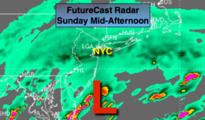
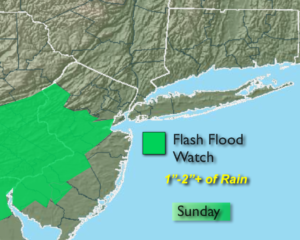
Low pressure off the Maryland coast this evening will move to Southeast of Cape Cod late tonight. On and off rain will continue into the evening hours and taper off toward midnight.
We’ll dry out for the beginning of the workweek as high pressure develops along the Eastern Seaboard. A mix of sun and clouds is expected with readings in the 70s Monday and Tuesday. A cool front will move through Tuesday night with spotty showers. Temperatures will be more seasonal by Wednesday.
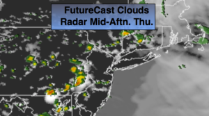
The next chance of showers will be later Thursday into Friday as another system moves in from the West.
Stay tuned.
Keep it here for a no nonsense, no hype forecast.
Into This Evening:
On and off rain. Temperatures will be in the mid to upper 50s. Northeast winds at 10-20mph.
Tonight:
Rain will end around midnight, otherwise remaining mostly cloudy. Lows around 50º in the City, the upper 40s inland. Northeast winds diminishing to 5-10mph.
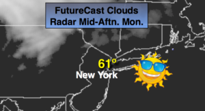
Monday:
Partly sunny. Mild. Highs around 70º. North to Southeast winds at 5-10mph.
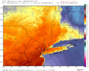
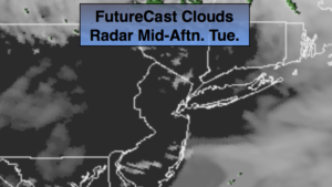
Tuesday:
Partly sunny. Warmer. Highs in the mid 70s.
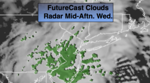
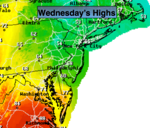
Wednesday:
Partly sunny. Seasonal Highs in the upper 60s.
Thursday:
Clouds and sun. Chance of afternoon showers. Highs around 60º.
Friday:
Mostly cloudy with a chance of showers. Warmer. Highs in the mid 70s.