Synopsis:
A flow off the ocean will keep the atmosphere moisture-laden for the next several days. Today will start cloudy. The sun should make an appearance during the afternoon. It will be humid. An isolated shower can’t be ruled out.
Areas of fog, drizzle and showers will be with us tonight.
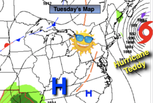
The beginning of the week will be mild. A deep Southerly flow will develop. This will keep the humidity high. Monday morning will start with areas of fog, drizzle and scattered showers. The sun will make an appearance. A better chance of showers comes our way for Tuesday afternoon into the first half of Wednesday as a cold front approaches. There maybe a period of steadier and heavier rain Tuesday night into Wednesday morning.
Many of the models develop a low along the coast Wednesday night into Thursday morning. How much rain this system produces is still in question.
Stay Tuned.
Keep it here for a no nonsense, no hype forecast..
Today:
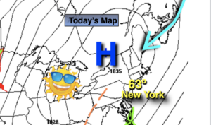
Clouds and patchy morning drizzle. Some afternoon sun. Humid. Highs in the mid to upper 70s. East to Southeast winds at 5-10mph.
Tonight:
Cloudy with areas of drizzle, showers and fog. Muggy. Lows in the 60s throughout. South wind less than 5mph.
Monday:
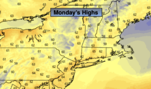
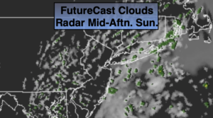
Morning scattered showers, drizzle and fog will give way to some sun. Highs in the upper 70s.
Tuesday:
Mostly cloudy with scattered afternoon showers. Humid. Highs in the mid to 70s.
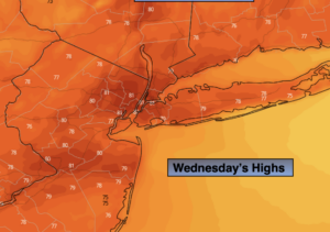
Wednesday:
Morning rain should give way to afternoon sun. Highs in the lower 70s.
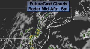
Thursday:
Potential for morning showers. Some afternoon sun. Highs in the lower 70s.