Synopsis:
It’s a simple forecast heading into mid portion of the week as high pressure continues to influence our area. A mix of sun and clouds is expected for Columbus Day. Temperatures will near or just above seasonable levels into midweek under a bright sky.
A cool front will approach on Thursday with afternoon showers. Ahead of the front it will be mild.
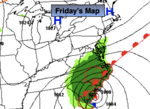
Friday will be bright and mild as the cooler air behind the front is lagging by a couple hundred miles.
Keep it here for a no hype, no nonsense forecast.
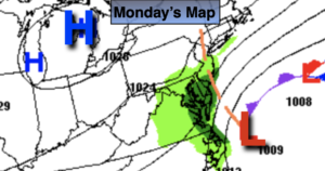
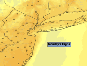
Monday:
Sun and clouds. Seasonable. Highs in the lower to mid 60s. West winds at 5-10mph.
Tonight:
Clear and cool. Lows in the lower to mid 50s in urban areas, the 30s & 40s inland. West winds diminishing to 5mph.
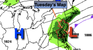
Tuesday:
Sunny. Highs in the mid to upper 60s.
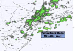
Wednesday:
Sunny. Mild. Highs around 70º.
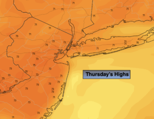
Thursday:
Becoming mostly cloudy with scattered afternoon showers. Mild. Highs around 70º.
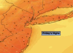
Friday:
Mostly sunny. Highs in the upper 60s.