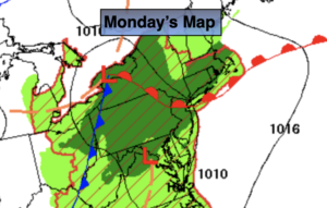
Synopsis:
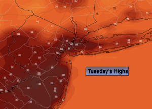
Welcome to August’s finale. It will be fine end to the month as high pressure from the North brings in a refreshing airmass. Humidity levels will plummet and it will become a gem of a day. Readings will be a few degrees above the average high of the lower 80s.
Tonight will be the coolest its been in weeks. Give the AC a break!
Thursday- September’s debut, through the middle of the Labor Day weekend looks fantastic as high pressure continues to dominate. The sun will rule the sky and temperatures will be comfortably warm with low levels of humidity.
Keep it here for a no hype, no nonsense forecast.
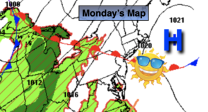
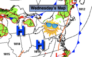
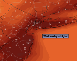
Wednesday:
Sunny. Not as humid. Highs in the mid 80s. West to Northwest winds at 8-15mph.
Tonight:
Clear and much cooler than recent nights. Lows in the upper 60s in urban areas, the 50s and 60s North and West.West winds at 5mph.
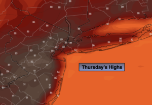
Thursday:
Mostly sunny. Highs in the lower to mid 80s.
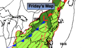
Friday:
Sunny. Highs in the lower 80s.
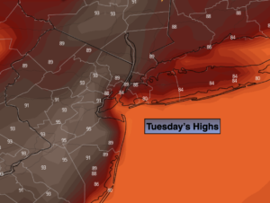
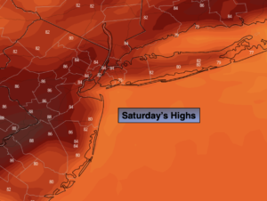
Saturday:
Sunny. Highs in the lower to mid 80s.
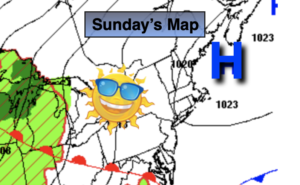
Sunday:
Partly sunny. Highs in the mid 80s.
Catch me Saturday on the Fox Business Network from 6am-9am on the Weather Stream until 10am. Find us on Tubi, Roku TV and YouTube TV and as always the Fox Weather App. It’s Free!