Synopsis:
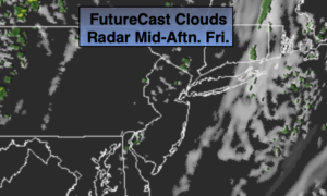
A weak disturbance will ride from North to South and through our area this morning. Showers will be with us through mid-day today. The sun will return and the afternoon will be delightful. It’ll be much cooler. The average high is 69º.
Clear and chilly conditions are expected tonight.
The first weekend of October will be bright and cool as high pressure influences the area from Canada.
Low pressure will develop off the Mid-Atlantic coast on Monday and move Northeast. Showers are in the forecast.
Tuesday will be a Fall classic with abundant sunshine and seasonal readings.
Stay Tuned.
Keep it here for a no nonsense, no hype forecast.
Today:
Scattered showers through mid-day. Increasing sunshine. Cooler. Highs in the mid 60s. Northwest winds at 5-10mph.
Tonight:
Clear and chilly. Lows in the mid 50s in the City, near 40º inland. Northwest winds at 5mph.
Saturday:
Mostly sunny. Cool. Highs in the mid 60s.
Sunday:
Mostly sunny. Highs in the mid 60s.
Monday:
Mostly cloudy with scattered showers. Highs in the mid 60s.
Tuesday:
Mostly sunny. Highs in the mid 60s.