Synopsis:
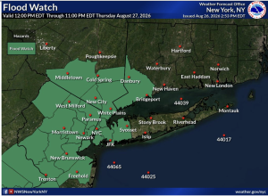
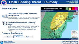
A moist Southwest flow will develop Thursday ahead of a weak cool front. The humidity will come up along with the chance of showers and storms during the mid morning through late evening. Any one of the showers or storms has the capability of dropping torrential rain. A Flood Watch has been posted for much of the tri-state area. Remember, never drive through flooded roadways. You don’t know how deep the water is. Turn around-don’t drown.
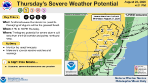
A few of the storms have the capability of turning severe. The ingredients are more prevalent for areas West of the City. Keep an eye to the sky for threatening weather.
The front will move off the coast on Friday. Clouds may dominate for a majority of the day with more sunhine likely later in the afternoon.
The last weekend of August looks spectacular with high pressure settling over the Northeast. Abundant sunshine and pleasant conditions are expected!
Warm and humid conditions are expected for the beginning of next week.
Stay tuned.
Keep it here for a no nonsense, no hype forecast….
Tonight:
Partly cloudy. Lows around 70º in the City, the 60s elsewhere. Light South wind.
Thursday:
Mostly cloudy. Humid. Scattered showers and storms. Highs around 80º. South winds at 8-15mph.
Friday:
Clouds, some sun. Highs in the lower 80s.
Saturday:
Sunny. Highs in the lower 80s.
Sunday:
Sunny. Highs in the mid 80s.
Monday:
Partly sunny. More humid. Highs in the mid 80s.