Synopsis:
Canadian high pressure will settle over the region today resulting in abundant sunshine. Readings will struggle to crack the freezing mark. Thankfully, the winds will have abated some.
Low pressure will be over the Central Appalachians on Monday. Morning sun will give way to afternoon clouds. As the low moves just to our South it will throw light snow or snow showers our way for Tuesday. This system will basically fall apart over the region so a big snow will not happen. A coating of snow is the thinking.
Residual mositure Wednesday morning may result in a few snow showers, otherwise skies will be mostly cloudy.
All eyes then turn to a developing Carolina storm. The computer models are in good agreement that this storm will intensify rapidly and move off the Virginia coast and not up the coast, sparing most of the region of snow. This is not totally etched in stone, but confidence is fairly high being this far out in time (which is rare). It will be windy and cold as the storm cranks offshore under mostly cloudy skies. A period of light snow is possible for Southern areas.
Stay Tuned.
Keep it here for a no nonsense, no hype forecast.
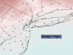
Today:
Sunny. Highs in the lower 30s. Northwest winds at 10-20mph. Wind chills in the 20s.
Tonight:
Clear and cold. Lows around 25º in the City, 10º-20º inland. Northwest winds at 5mph.
Monday:
Sun giving way to late day clouds. Highs in the mid 30s.
Tuesday:
Occasional light snow or snow showers. Highs in the mid 30s.
Wednesday:
Mostly cloudy. Chance of snow showers. Highs in the mid 30s.
Thursday:
Mostly cloudy, windy and cold. Highs in the mid 30s.