Synopsis:
An upper level low over the Northeast will influence our weather for the next several days. This sounds worse than it is. The result will be spotty afternoon showers or storms. Much of the upcoming days will be dry with a mix of sun and clouds. Temperatures will be near or above the seasonal average of 83º. Humidity levels will be high today but should decrease some going through the week as the wind turns to the North and Northeast.
By Thursday, the system will dissipate and move off the coast. A brighter and warmer day is expected as we get into the month of July.
Stay Tuned.
Keep it here for a no nonsense, no hype forecast.
Today:
Partly sunny, very warm and humid. Spotty PM Storms. Highs in the upper 80s. West winds at 8-12mph.
Tonight:
Evening isolated storms, otherwise becoming partly cloudy. Lows in the lower 70s in urban areas, the 60s inland. Northwest winds at 5mph.
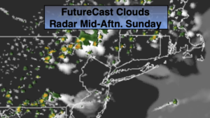
Monday:
Mostly sunny, warm and not as humid. Highs in the upper 80s.
Tuesday:
Partly sunny. Spotty afternoon showers. Highs in the mid 80s.
Wednesday:
Clouds and sun. A better chance of scattered showers. Highs in the mid 80s.
Thursday:
Partly sunny. Warmer. Highs in the upper 80s.