Synopsis:
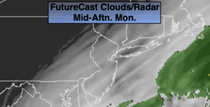
A storm will move up and off the coast today. The rain shield from the system will stay offshore. Clouds will should give way to some sun. Temperatures will be a few degrees below the average high of 62º.
Skies will clear tonight as we’ll be between systems.
Tuesday will be a changeable day with a rapidly moving front approaching. The day will start off dry but a period of showers is expected and possibly a thunderstorm with the passage of the front. The sun will return during the afternoon with a strong Northwest wind.
Wednesday will be blustery and chilly. More seasonal weather is expected for Thursday. Both days will be dry.
It will be a wet finish to the workweek as a low moves up the coast.
Stay Tuned.
Keep it here for a no nonsense, no hype forecast.
Today:
Mostly cloudy. The best chance of seeing the sun is during the afternoon. Highs in the mid to upper 50s. North to Northwest winds at 10-20mph.
Tonight:
Mostly clear. Lows in the 40s along the coast, the 30s in the Northwest ‘burbs. Winds becoming South at 5mph.
Tuesday:
Sun and clouds. Scattered showers and possible a thunderstorm. Windy. Highs around 60º.
Wednesday:
Mostly sunny, breezy and chilly. Highs only in the lower 50s.
Thursday:
Partly sunny. Highs around 60º.
Friday:
Rain likely. Highs in the mid to upper 50s.