Synopsis:
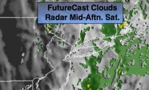
A storm over the central Appalachians will move North today. At the same time a front will be sweeping into the area. Areas of heavy rain will continue this morning. A Flash Flood Watch is in effect through midday for the entire tri-state area. The potential is there for one to two inches of rain. The rain should taper off during the afternoon from West to East. At least the second half of Passover will be more tranquil.
Easter Sunday will feature a mix of clouds and sun. A spot shower can’t be ruled out as an upper level low moves over the area. A decent day looks to be on the way!
On Monday, the upper low looks to stall for a time. Some of the models redevelop a low just off the coast. If this pans out Monday will feature showers.
Tuesday will be partly sunny and much warmer.
Keep it here for a no nonsense, no hype forecast.
Stay tuned.
Today:
Areas of rain and possible thunderstorms this morning. The rain will midday through early afternoon. Highs in the upper 60s. Southeast winds at 10-20mph.
Tonight:
Mostly cloudy. Lows in the 50s throughout. Southeast wind at 5-10mph.
Easter:
Clouds and sun. Spotty afternoon showers. Highs in the mid 60s.
Monday:
Mostly cloudy with showers possible. Highs in the mid 60s.
Tuesday:
Partly sunny. Warm. Highs in the mid to upper 70s.
Wednesday:
Partly sunny. Scattered late day showers. Highs around 70º.