Synopsis:
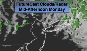
Low pressure will move continue to move farther offshore this morning. Any early rain or mixed precipitation will end during the morning. Skies will become partly sunny later this Presidents’ day.
Tuesday will feature abundant sunshine as high pressure over Eastern Canada dominates.
The next system will move out of the Gulf states Tuesday and head Northeast. At this time, there is a potential for snow or a mix Wednesday afternoon. The system doesn’t look strong and once again, we are losing cold high pressure to a mild Southerly flow. A light mix or rain is likely Wednesday night into Thursday morning as the low moves off the coast. A major accumulating snow looks highly doubtful for the area. Sorry snow lovers; its been one tough Winter
Keep it here for a no nonsense, no hype forecast.
Today:
Any early morning precipitation will come to an end, otherwise clouds will break for some sun this afternoon. Highs around 40º. Northeast to Northwest winds at 15-2mph.
Tonight:
Clear and cold. Lows in the lower to mid 20s in the City, the teens inland. Southeast to Northeast winds at 15-25mph.
Tuesday:
Sunny. Highs in the mid to upper 30s.
Wednesday:
Light snow, mix developing during the afternoon. Highs in the mid to upper 30s.
Thursday:
Morning light rain, otherwise mostly cloudy. Mild. Highs near 50º.
Friday:
Mostly sunny. Highs in the mid 40s.