Synopsis:
High pressure will extend from the Midwest to the East coast the next several days. This will this will keep temperatures several degrees below the average highs of the mid 40s as the flow comes out of Canada.
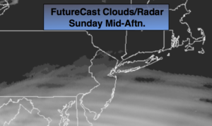
The storm over the South today will not affect the region. High pressure will stop the progression of the low from moving North. Snow lovers you’ll have to wait. In fact, the wait maybe a while as the Pacific jet stream is dominating. This set up will keep the Arctic air banked up in Canada and a storm track that is not favorable for snow in our area.
Tranquil weather is expected for most of the upcoming week with high pressure in control and the sun dominating.
You know where to find a no hype, no nonsense forecast.
Stay tuned.
Today:
Mostly cloudy. Highs in the mid to upper 30s. Winds light and variable.
Tonight:
Becoming partly cloudy late. Cold. Lows around 30º in the City, the teens and 20s inland. Northwest winds at 5mph.
Monday:
Mostly sunny and chilly. Highs near 40º.
Tuesday:
Mostly sunny.. Highs in the mid to upper 30s.
Wednesday:
Sunny. Highs in the mid to upper 30s.
Thursday:
Sunny.. Highs around 40º.
Keep it here for a no nonsense, no hype forecast.