Synopsis:
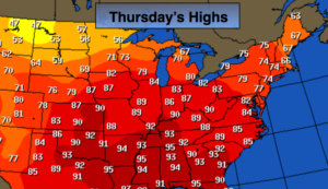
High pressure will influence our area through the end of the week. It’ll be cooler today with seasonal readings-the average high for the date is 74º. A mix of clouds and sun is expected. By Friday, a Southwest flow will develop around the area of high pressure, this will result in temperatures flirting with 80º.
Saturday is the first day of Fall. The Autumnal Equinox arrives at 9:54pm. That is the exact time the sun’s direct rays cross over the equator. A cool front will move through uneventful Saturday morning. Clouds will give way to sun. Readings will be near average . Sunday will be mostly sunny and cooler with highs around 70º as high pressure noses in from Eastern Canada.
You know where to find a no hype, no nonsense forecast.
Stay tuned.
Today:
Morning clouds giving way to partly sunny skis. Highs in the mid 70s. Northeast to East winds at 5-10mph.
Tonight:
Partly cloudy, cooler. Lows in the lower 60s in the City, the 50s inland. Southeast wind at 5mph.
Friday:
Partly sunny. Warmer. Highs near 80º.
Saturday:
Partly sunny. Highs in the mid 70s.
Sunday:
Partly sunny. Highs in the lower 70s.
Monday:
Partly sunny, cooler. Highs in the upper 60s.
Keep it here for a no nonsense, no hype forecast.