Synopsis:
High pressure will begin to build off the Southeast coast today. A top ten day is expected with wall to wall sunshine and low humidity. Temperatures will come up in steps through Friday. By June’s finale (Friday) it’ll be hot once again. Our first chance of a stray storm will come Friday afternoon.
Taking a peek at the holiday weekend- the weather looks typical for July with warm readings and a chance of afternoon scattered storms from time to time. It will not be a washout.
Stay tuned.
Today:
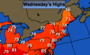
Sunny. Low humidity. Highs around 80º. Northwest to Southwest winds at 10-15mph.
Tonight:
Clear and comfortable. Lows in the mid 60s in the City, the 50’s inland. Southwest winds at 5mph.
Thursday:
Mostly sunny. A gem. Highs in the mid 80s.
Friday:
Hazy, very warm and humid. A stray afternoon/evening storm is possible. Highs in the upper 80s.
Saturday:
Hazy, very warm and humid. A stray afternoon/evening storm is possible. Highs in the upper 80s.
Sunday:
Hazy, warm and humid. Scattered storms. Highs in the mid to upper 80s.
Keep it here for a no nonsense, no hype forecast.