Synopsis:.
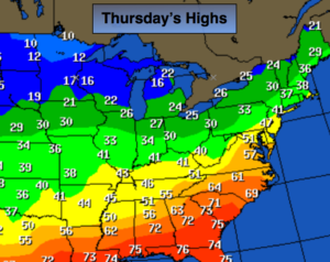
February has started off tranquil. High pressure over the Northern Plains will result in a persistent Northwesterly flow into Saturday. This will result in a downward trend in temperatures into the weekend. The map above shows the Arctic air spilling into the Northern Plains. The air mass will modify some by the time it reaches the East coast.
A few flurries are possible later Super Sunday. The area will be storm-free through at least Monday.
A complex storm system will move into the area Tuesday and Wednesday next week. A bit of wintry precipitation is possible Tuesday with rain more likely by Wednesday. Not a snow lovers dream.
Today:
Partly sunny, seasonal. Highs around 40º. West to Northwest winds at 15-25mph.
Tonight:
Mostly clear, colder. Lows in the mid 20s in the City, the teens inland. Northwest winds diminishing to 8-12mph.
Friday:
Partly sunny, colder. Highs in the lower 30s.
Saturday:
Partly sunny. Highs around freezing.
Sunday:
Morning sun will give way to clouds. Afternoon flurries or snow showers are possible. Highs in the mid 30s.
Monday:
Mostly sunny. Highs around 40º.
Stay Tuned.
Keep it here for a no nonsense, no hype forecast.