Synopsis:
High pressure set up shop over the Northeastern states. This high will dominate our weather through Wednesday, the result- a string of beautiful days. The humidity will be very low for August standards. By Thursday the high will move off the coast. This will set up a warmer and more humid flow for the end of the week. A spot afternoon storm can’t be ruled out though most areas will remain rain-free.
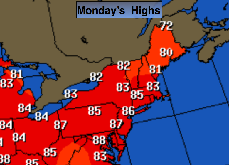
Today:
Mostly sunny and warm. Highs in the mid to upper 80s. Northeast to South wind at 8-12mph.
Tonight:
Clear and comfortable. Lows around 70º in the City, the upper 50s to 60s inland. Light and variable wind.
Tuesday:
Sunny with readings in the mid to upper 80s.
Wednesday:
Partly sunny. A stray afternoon storm is possible. Highs in the mid 80s.
Thursday:
Hazy, hot and humid with spotty PM storms. Highs near 90º.
Friday:
Hazy, hot and humid with spotty PM Storms. Highs near 90º
Stay Tuned.
Keep it here for a no nonsense, no hype forecast.