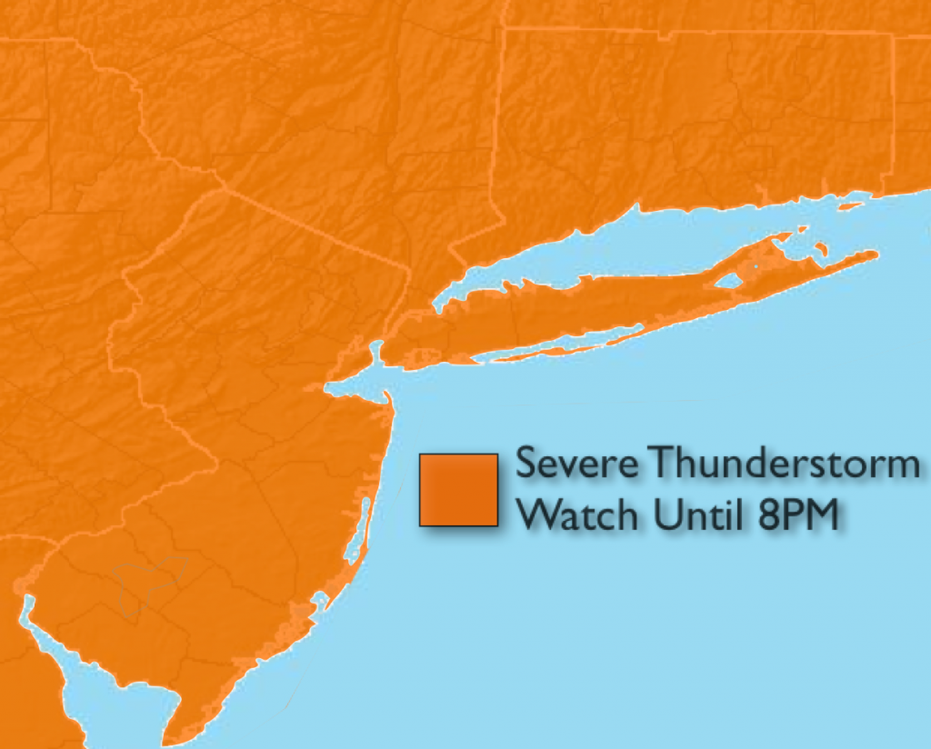
***Severe Thunderstorm Watch until 8PM***
Eye to the sky for threatening weather later this afternoon and early evening. The atmosphere has become very unstable this afternoon. Scattered storms will develop and affect areas to the North of the City this afternoon. More thunderstorms will move in from PA later today and possibly affect the rest of the region. The storms have the capability of becoming severe. Severe storms contain winds in excess of 58mph and or 3/4″ hail. Please seek shelter immediately if threatening weather moves in. If thunder roars go indoors.
Synopsis:
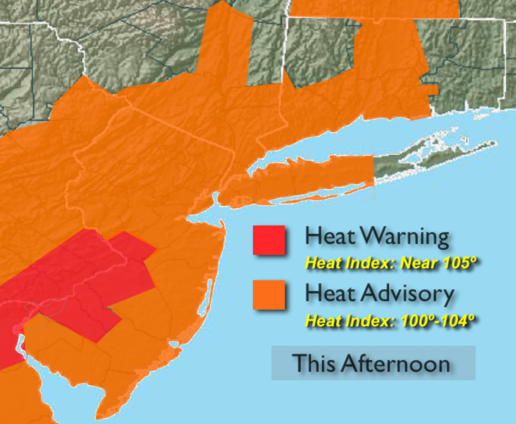
The heat dome that has been over the region the last 4 days will continue to sit over the East Coast much of this week. Today will be day 5 of the heat wave for most areas and our stretch of 90º+ should last into Thursday. The humidity will be much higher today. For this reason an Excessive Heat Warning is in effect for Mercer County as the Heat Index will approach 105º. A Heat Advisory is in effect for the rest of the Tri-State area this afternoon for a Heat Index of 100º-104º.
A disturbance has caused showers and thunderstorms this morning over Central and Southern NJ. This activity will move off the coast and later this morning. The sun will return and it will become oppressive. This will set the stage for a more significant round of scattered thunderstorms with another disturbance. Keep an eye to the sky for threatening weather after 2PM. Some of the storms may become severe.
Today:
Morning Showers and storms over Central and Southern NJ will end. Skies will become hazy. It’ll be hot and humid. Highs will be in the lower to mid 90s. Scattered storms will develop later this afternoon. Some of the storms may contain damaging winds. Southwest wind at 5-10mph with gusts to 20mph.
Tonight:
Scattered storms early, otherwise partly cloudy and muggy. Lows in the upper 70s to around 80º in City, the upper 60s to 70s inland. Winds West at 5mph.
Tuesday:
Hot with lower humidity. Mostly sunny skies with highs will be in the mid 90s.
Wednesday:
Mostly sunny and hot. Highs will be in the lower 90s.
Thursday:
Partly sunny with highs around 90º. This should be the last day of this current heat wave.
Friday:
Hazy, very warm and humid. Spotty afternoon storms are possible. Highs in the upper 80s.
Keep it here for a no nonsense, no hype forecast.