Synopsis:.
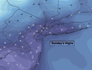
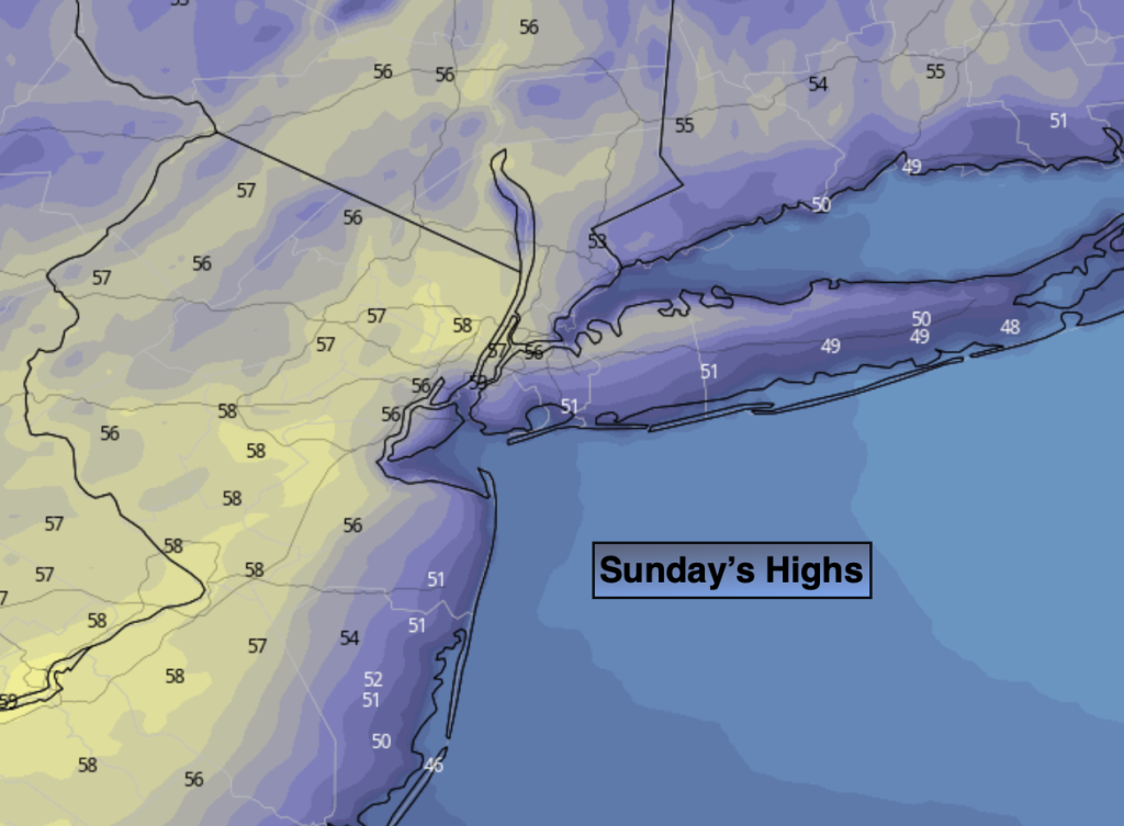
It’ll be a delightful Easter. Some may call it egg-cellent! A sun-filled holiday is expected as strong high pressure settles over the Northeast. Readings will be a few degrees below the average high of the upper 50s.
Tonight will be night number two for scattered frost inland. Along the urban corridor readings will be well above freezing.
Tranquil conditions will continue through the entire upcoming week. Temperatures will moderate rapidly as high pressure anchors itself along the East coast. June-like readings and abundant sunshine are likely through Wednesday through Friday- a Summer preview for sure!
Stay tuned.
Keep it here for a no nonsense, no hype forecast..
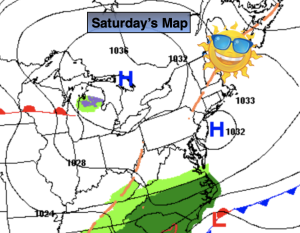
Easter:
Sunny. Highs in the mid to upper 50s. Northeast to Southeast winds at 5-10mph.
Tonight:
Clear. Lows around 40º in the City, the 20s to mid 30s all other locations. Light and variable winds.
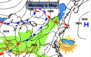
Monday:
Sunny. Milder. Highs in the lower 60s.
Tuesday:
Sunny. Warmer. Highs in the lower 70s.
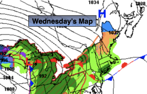
Wednesday:
Sunny. Much warmer. Highs in the 70s to around 80º.
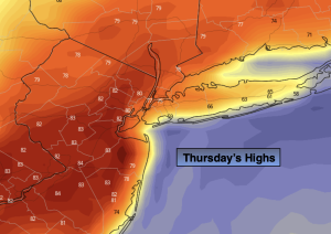
Thursday:
Sunny. Very Warm. Highs in the mid 80s.