Synopsis:
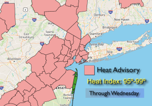
Back to work and school on today through Thursday will feature more of the same as high pressure remains anchored over the East. Summer doesn’t want to let go! A Heat Advisory has been issued for many areas. High temperatures and high humidity will make it feel like the mid to upper 90s. This isn’t unheard for September. The funny thing is it’s warmer now than its been on any day in August.
The heat will break as high pressure weakens and moves offshore by Friday. At this time a front will approach from the West. The threat of late day and evening storms are in the forecast. More numerous showers and storms are likely on Saturday as the front stalls over the region.
Stay tuned.
Keep it here for a no nonsense, no hype forecast.
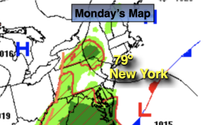
Tuesday:
Sun and clouds. Hot. Highs in the upper 80s to lower 90s. Cooler at the coast. North winds 5-10mph.
Tonight:
Mostly clear and warm. Lows in the mid 70s in the City, the 60s inland. Light Northwest winds.
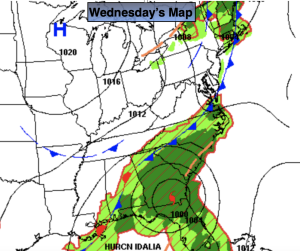
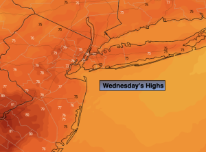
Wednesday:
Mostly sunny. Hot. Highs in the upper 80s to lower 90s.
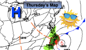
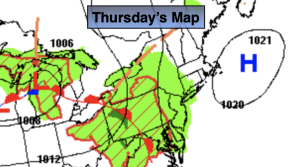
Thursday:
Partly sunny. Hot. Highs around 90º.
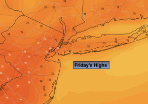
Friday:
Partly sunny. Not as hot. Late day showers or storms possible. Highs in the mid 80s.
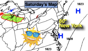
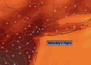
Saturday:
Mostly cloudy. Showers and storms possible. Highs in the lower 80s.