Synopsis:
High pressure over the Southeast will dominate our region today. Abundant sunhine and just above average temperatures are anticipated. The average high is around 40º.
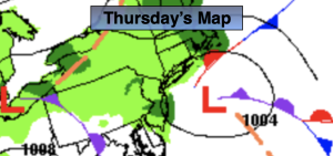
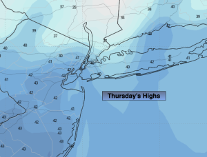
A storm will develop off the Carolina coast and move out to sea Thursday. No precipitation is expected although clouds will filter our sky. The sun will dominate by afternoon.
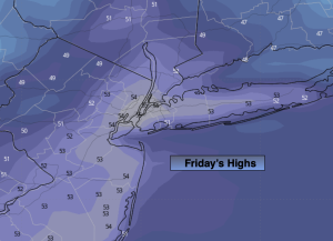
Cold high pressure will influence our area on Friday. It’ll be bright with a nip in the air.
A storm will develop along the Gulf coast on Saturday. Morning sun will give way to increasing clouds. Light snow or rain will possibly develop later in the day. The I-95 corridor looks to be the rain/snow line between for the beginning of this event.
The potential is there for an accumulating snow for parts of the region Saturday night into Sunday. It has been a couple of years since much of our region has had significant snow.
There will be changes in projected storm track, intensity and precipitation amounts the next few days. Today’s guidance (a possible trend) is: a track closer to the coast, slightly warmer, slightly weaker, but a meteorologist knows you cannot model hug. Best guess at this timeframe. Higher amounts of snow North and West with the possibility of a mix or change to rain for a time at the coast and to the South. Could several inches fall North and West? Yes. May parts of Central and Southern NJ see little in the way of accumulation, it’s possible. We continue to track at JMW. Those who know me know I am not an alarmist. I will sound the bell when conditions warrant and we are way too far away from this event to even think about that. Don’t believe the hype out there.
Stay tuned.
Keep it here for a no nonsense, no hype forecast.
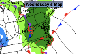
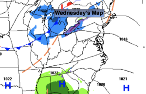
Wednesday:
Mostly sunny. Highs in the lower to mid 40s. Northwest winds at 5-10mph.
Tonight:
Mostly cloudy. Lows in the lower to mid 30s in the City, the 20s inland. West winds less than 5mph.
Thursday:
Clouds and sun. Highs in the lower 40s.
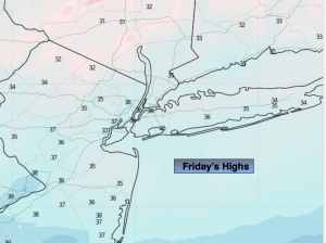
Friday:
Sunny. Colder. Highs in the upper 30s.
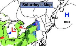
Saturday:
Morning sun, otherwise increasing clouds. Chance of late day light snow or rain. Highs around 40º.
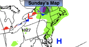
Sunday:
Chance of snow. Mix to the South and East. Highs in the upper 30s.