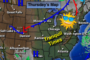
Synopsis:
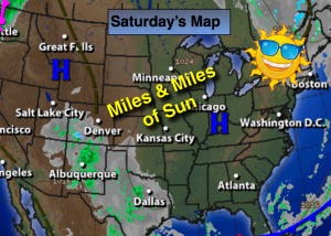
Today will be bright, but chilly with diminishing winds as a large high pressure system takes hold of the East coast . The return flow around the high will cause the cold air to retreat rapidly and allow for above average temperatures on Sunday. A weak area of low pressure may affect the region on Tuesday with showers.
Today:
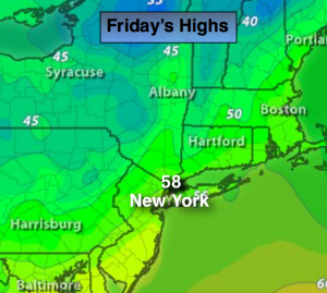
Mostly sunny, and much colder than recent days. Highs in the 40s to around 50º at the coast. Northwest to West winds at 8-12mph.
Tonight:
Clear skies. Lows in the near 40º in the City, the 20s inland. West wind at 5-10mph.
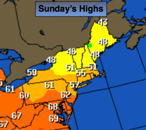
Sunday:
Mostly sunny and seasonal with readings in the mid to upper 50s.
Monday:
Mostly sunny with highs in the upper 50s.
Tuesday:
Cloudy with a chance of showers. Cool with highs in the lower 50s.
Wednesday:
Clouds will give way to afternoon sun. Highs in the mid 50s.
Stay Tuned.
Keep it here for a no nonsense, no hype forecast.