Synopsis:
Tranquil conditions are expected today with mainly sunny skies and seasonal temperatures.
A front with a weak developing area of low pressure will move to the Eastern Seaboard. Light rain will likely develop Thursday afternoon and evening. As the colder air works in the rain will turn to snow showers overnight and end Friday Morning. A minor accumulation is possible at most, but this doesn’t look significant.
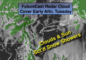
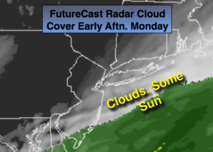
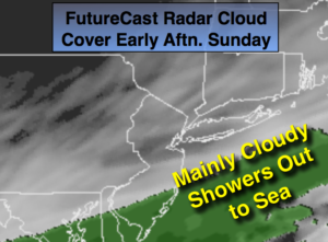
It will be cold this weekend with high pressure overhead on Saturday. An area of moisture over the Southeast with an area of low pressure looks to slide just to our South on Super Bowl Sunday and Monday. Snow showers are possible. This system needs to be monitored. Any shift farther to the North could result in a more significant snowfall or even a change to rain, farther off the coast-little to no snow.
Stay tuned.
Today:
Mostly sunny and cold. Highs in the mid 30s. Northwest to South winds at 5-10mph.
Tonight:
Becoming mostly cloudy, not as cold as last night. Lows around freezing in the City, the 20’s inland. Northwest winds at 10-15mph.
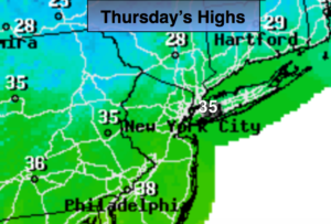
Thursday:
Sun to clouds with afternoon light rain possible. Highs in the lower to mid 40s.
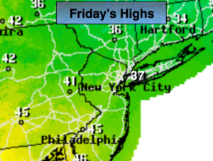
Friday:
Early morning snow showers. Becoming mostly sunny. Highs around freezing.
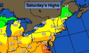
Saturday:
Sunny and cold. Highs around 30º.
Sunday:
Mostly cloudy with a chance of snow showers. Highs in the mid to upper 30s.
Keep it here for a no nonsense, no hype forecast.