Synopsis:
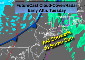
A significant dip in the jet stream will occur today. An area of low pressure will develop over Southern New England. Showers are possible in the morning. It’ll be warm enough ahead of the Arctic front for mainly liquid precipitation. The sun will return by mid-day. Once the storm bombs out over Southeastern Canada and the front moves through the coldest air of the season so far will rush in. A bitter blast will arrive tonight and Wednesday. Temperatures will remain below freezing for highs on Wednesday.
Very weak disturbances will rapidly move through Thursday and Friday with a chance of flurries.
Stay tuned.
Today:
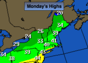
Mostly cloudy with scattered showers this morning. The sun will then soon return. Highs in the 40s, closer to 50º at the coast. West wind at 10-15mph.
Tonight:
Partly cloudy. Much colder. Lows in the mid 20s in the City, the upper teens inland. West to Northwest wind at 15-30mph with higher gusts.
Wednesday:
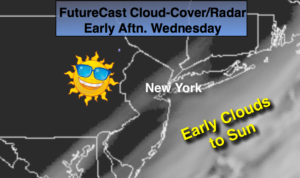
Partly sunny, windy and brutally cold. Highs in the upper 20s. Wind chills 10º-15º.
Thursday:
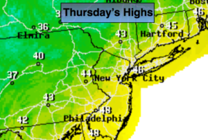
Partly sunny, breezy and cold. Spotty Flurries. Highs around freezing.
Friday:
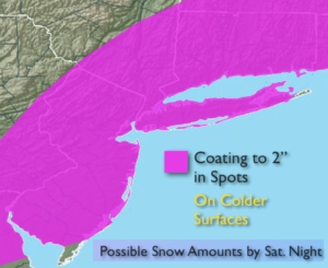
Mostly cloudy. Flurries are possible. Highs in the lower 30s.
Saturday:
Partly sunny. Highs in the mid 30s.
Keep it here for a no nonsense, no hype forecast.