Synopsis:
High pressure will dominate our area through the week. This will result in tranquil conditions. It will be warm for September’s finale (highs near 80º). Clouds will be with us as the shield of moisture from Tropical Storm Imelda greets us. Cooler air will greet us for the start of October on Wednesday. Readings will drop below the average high of the lower 70s for the beginning of the new month. The sun will dominate through the end of the week.
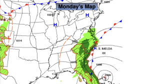
Tropical Storm Imelda well off the Florida coast will turn out to sea and not affect the East coast.
Stay tuned.
Keep it here for a no nonsense, no hype forecast.
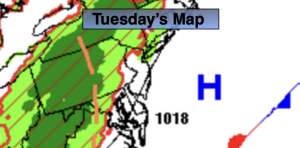
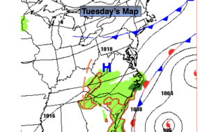
Tuesday:
Clouds, some sun. Warm. Highs around 80º. North winds at 5-10mph.
Tonight:
Party cloudy. Cooler. Lows in the mid 50s in the City, the 40s inland. North/Northeast winds at 10-20mph with higher gusts at the coast.
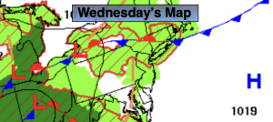
Wednesday:
Sunny. Cooler. Highs in the mid 60s.
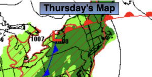
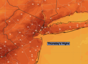
Thursday:
Sunny Cool. Highs in the mid 60s.
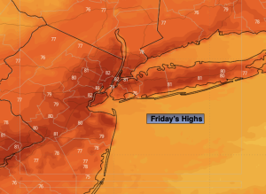
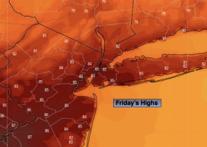
Friday:
Sunny. Highs around 70º.
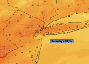
Saturday:
Sunny. Mild. Highs in the mid 70s.