Synopsis:
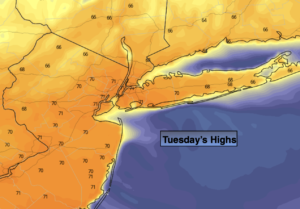
A warm front will push through this morning with scattered showers. Behind the front skies will become mostly sunny and readings will pop to around 70º. The average high is 60º.
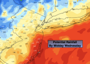
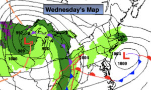
Wednesday’s temperature will depend on your location. The warm front that moves through today will drift back South for a time on Wednesday. Cooler air will work in from New England. From the City and to the North and East temperatures will be in the 50s and 60s. From the City and to the South and West readings will pop well into the 70s. More clouds than sun is expected.
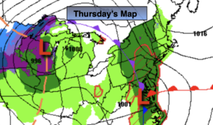
A cool front will approach Thursday. Ahead of the system temperatures will once again reach the 70s. It may be near 80º inland! Showers are possible with the passage of the front during the late afternoon or evening.
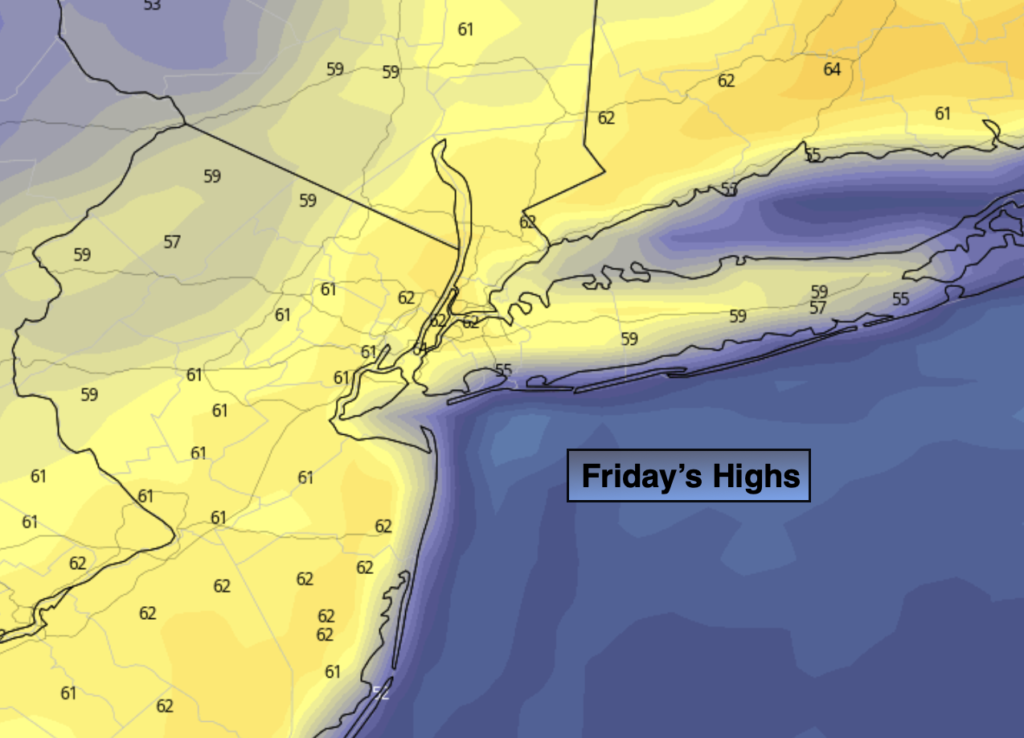
Friday should be pleasant under a mix of sun and clouds. Highs will be a few degrees above average.
The Easter Holiday weekend should be decent. Partly sunny skies are expected both days. A shower can’t be ruled out later Saturday. Dry Easter bonnets are expected Sunday as high pressure moves in. Temperatures will be a few degrees above the average.
Stay tuned.
Keep it here for a no hype, no nonsense forecast.
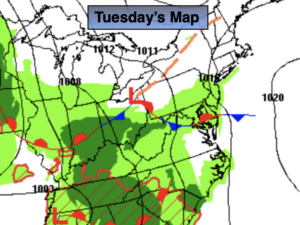
Tuesday:
Scattered morning showers, otherwise becoming mostly sunny and Warm. Highs around 70º. Southwest to Northwest winds at 5-10mph.
Tonight:
Mostly cloudy. Mild. Lows in the lower to mid 50s in the City, the 40s inland. East wind less than 5mph.
Wednesday:
Partly sunny. Highs in the 70s South and West of the City, the 50s and 60s North and East.
Thursday:
Partly sunny. Warmer. Late day showers. Highs in the upper 70s.
Friday:
Partly sunny. Highs in the mid 60s..
Saturday
Sun and clouds. Scattered afternoon showers. Highs in the mid 60s..
Catch me on the Fox Weather Stream from 1pm-4pm on Monday. Find us on Tubi, Roku TV and YouTube TV and as always the Fox Weather App. It’s Free!