Synopsis:
August’s debut will be a hot one. A humid airmass will be over the region as well courtesy of a Bermuda high. The sun will be a constant for your Thursday.
Isolated afternoon storms are possible Friday and into the weekend as a weak disturbance sits over the region. The majority of the time will be dry. Hazy sun, very warm and humid conditions are anticipated. The dog days of August are upon us!
Stay tuned.
Keep it here for a no nonsense, no hype forecast.
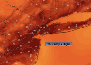
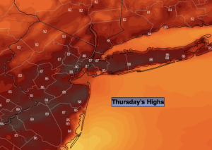
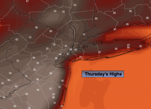
Thursday:
Hazy, hot and humid. Highs in the lower to mid 90s. Heat index near 100º. West to South winds at 5-10mph.
Tonight:
Partly cloudy, warm and muggy. Lows in the mid to upper 70s in urban areas, the 60s inland. Southwest winds less than 5mph.
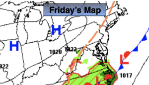
Friday:
Hazy, hot and humid. Spotty PM Storm. Highs around 90º.
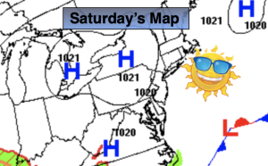
Saturday:
Hazy, very warm and humid. Spotty PM Storm. Highs in the upper 80s.
Sunday:
Hazy, warm and humid. Spotty PM Storm. Highs in the mid 80s.
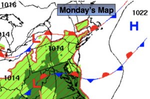
Monday:
Hazy, hot and humid. Highs around 90º.