Synopsis:
Today will feature plenty of sun and pleasant conditions as high pressure slides off the Southeast coast. Winds will increase dramatically tonight. The potential is there for gusts between 45-55mph. A shot of cooler air from the North will arrive for Thursday under mostly sunny skies. Gusty morning winds will abate during the afternoon. Friday will be bright and seasonable as high pressure moves offshore.
A few showers are possible Saturday morning with a front moving in. It now looks as much of the day will be dry and mild. Sunday will feature another system moving in from the West. Showers are possible from mid morning on.
Stay tuned.
Keep it here for a no nonsense, no hype forecast…
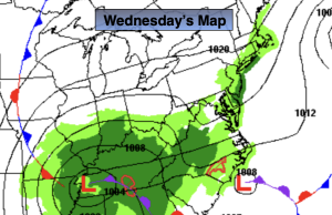
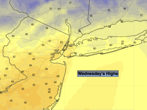
Wednesday:
Partly sunny and mild. Becoming breezy. Highs in the lower to mid 60s. Southwest winds increasing to 10-20mph with gusts to 30mph late day.
Tonight:
Mostly clear. Windy. Lows in the 40s throughout. West/Northwest Winds at 15-30mph with gusts 45-55mph.
Thursday:
Mostly sunny. Windy early. Cooler. Highs in the mid 50s.
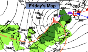
Friday:
Partly sunny. Seasonable. Highs in the upper 50s.
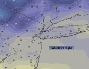
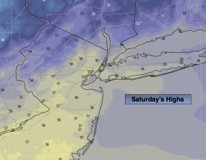
Saturday:
Mostly cloudy with a few early morning showers. Highs in the lower 60s.
Sunday:
Mostly cloudy with showers developing by mid morning. Highs in the upper 50s.