Synopsis:
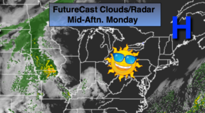
High pressure over Northern New England will keep our skies sunny with temperatures just below average through Tuesday.The average high is 52º.
A weak front and disturbance in the upper levels over the Appalachians will result in mainly cloudy skies for mid to late week. Temperatures will go above average with a Southerly flow as the high pressure forms off the Southeast coast. Showers chances increase both on Wednesday and Friday. It will not be a washout. It will finally feel like Spring.
A storm will develop over the Ohio Valley on Friday and move to our West in Upstate New York. Showers are expected into Friday Night, but the inclement weather should move out just in time for the Holiday Weekend.
Stay tuned.
Today:
Sunny. Highs in the upper 40s. Northeast winds at 8-12mph.
Tonight:
Clear and cold. Lows around freezing in the City, the upper teens and 20s inland. Northeast winds at 5mph.
Tuesday:
Mostly sunny. Highs in the upper 40s.
Wednesday:
Mostly cloudy with a chance of showers. Highs around 50º.
Thursday:
Mostly cloudy. Mild. Highs in the upper 50s.
Friday:
Mostly cloudy with scattered showers. Mild. Highs in the mid to upper 50s..
Keep it here for a no nonsense, no hype forecast.