Synopsis:
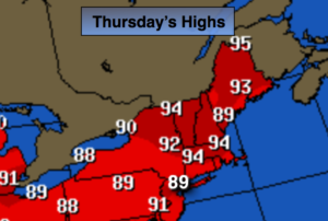
High pressure that remained off our coast for the last 6 days was the culprit behind our heatwave. This feature will have its last hoorah today. Clouds will give way to hazy sun. It’ll be another steamy one. Temperatures will be back up near 90º as the wind will be more off the land.
The high will give way to a significant cool front working in from the West. Scattered showers and thunderstorms are likely tonight. Some of the rainfall will be torrential.
The front will work into the region Friday with showers and thunderstorms. Locally heavy rain is possible. The front should clear the coast later in the day with the sun returning. Friday will be humid to start but by late afternoon a dramatic drop in the humidity will occur.
Relief will finally arrive by Saturday. The weekend looks fantastic with abundant sunshine, cooler temperatures and very low humidity as high pressure from the Great Lakes moves in. It’s about time!
Stay tuned.
Today:
Clouds will give way to hazy sun. It’ll be hot and humid. Highs near 90º. Heat index 95º-100º. South winds at 8-12mph.
Tonight:
Spotty thunderstorms with torrential rain otherwise, mostly cloudy, warm and muggy. Lows in the mid 70s in urban areas, near 70º elsewhere. Southwest winds under 5-10mph.
Friday:
Mostly cloudy with showers and thunderstorms with torrential rain in spots. Humid. The sun will return by later in the day. The humidity will drop by late afternoon. Highs in the mid 80s.
Saturday:
Sunny, cooler and much less humid. Highs around 80º.
Sunday:
Sunny with low humidity. Highs in the mid 80s.
Monday:
Sunny and warmer with highs in the upper 80s.
Keep it here for a no nonsense, no hype forecast.