Synopsis:
A strong Southeast ridge will develop for the beginning and mid portion of the week. This will cause readings to feel like Spring. The warm front will approach today with any sun giving way to grey skies and afternoon showers. Temperatures will approach May like readings both Tuesday and Wednesday. Highs will flirt with 70º.
Cooler conditions are expected Thursday and Friday as a cool front works through. Scattered showers are likely both days.
Stay tuned.
Presidents’ Day:
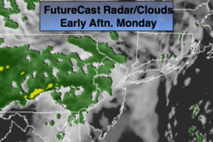
Any sun will give way to cloudy skies. Afternoon showers are likely. Mild. Highs around 50º. South winds at 5-10mph.
Tonight:
Cloudy. Areas of rain, drizzle and fog. Milder than recents nights. Lows in the 40s throughout. Winds becoming Southeast at 5-10mph.
Tuesday:
Morning clouds and possible drizzle giving way to partly sunny skies. Much warmer. Highs near 70º inland. The 60’s in urban areas. Much cooler at the coast.
Wednesday:
Partly sunny and very warm. Highs around 70º. Cooler at the coast.
Thursday:
Mostly cloudy with scattered showers. Much cooler. Highs in the upper 40s.
Friday:
Mostly cloudy with scattered showers. Highs in the mid 40s.
Keep it here for a no nonsense, no hype forecast.