Synopsis:
High pressure will move in from the West today. The sun will return with readings well into the 40s. Snowmelt for sure.
A strong Southeast ridge will develop for the beginning and mid portion of the week. This will cause readings to feel like Spring. The warm front will approach Presidents’ Day with grey skies and afternoon showers. Temperatures will approach May like readings both Tuesday and Wednesday. Highs will flirt with 70º.
Cooler conditions are expected Thursday as a cool front works through.
Stay tuned.
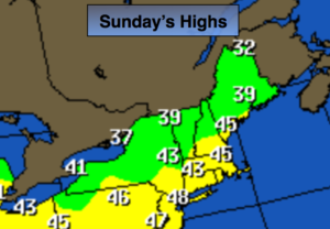
Today:
Mostly sunny and breezy early. Highs in the mid to upper 40s. Northwest to West winds at 15-25mph then diminishing to 8-12mph this afternoon.
Tonight:
Partly cloudy. Lows in the mid to upper 30s in the City, the 20s inland. Winds becoming Southeast at 5-10mph.
Presidents’ Day:
Mostly cloudy with afternoon showers. Highs in the lower 50s.
Tuesday:
Partly sunny and much warmer. Highs near 70º. Cooler at the coast.
Wednesday:
Partly sunny and very warm. Highs around 70º. Cooler at the coast.
Thursday:
Mostly cloudy with scattered showers. Much cooler. Highs in the upper 40s.
Keep it here for a no nonsense, no hype forecast.