Synopsis:
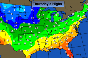
A significant season changing airmass will move into the area by Friday. There will actually be two cold fronts that will bring down the Winter-like chill. One cold front will pass the area on today, the second on Friday. The map above shows the Arcitc air invading the Northern Plains tomorrow. Now, our temperatures won’t be nearly as cold but plummeting temperatures and gusty winds are anticipated Friday and Saturday. I’m keeping any eye on several pieces to the puzzle for Monday into Tuesday. A snow/mix threat is on the table. The potential has increased for snow, especially for interior. Stay tuned.
Today:
Partly sunny and becoming breezy by afternoon. Highs in the mid 40s. West wind increasing to 15-25mph.
Tonight:
Mostly clear, colder. Lows around 30º in the City, the 20s inland. Northwest winds at 15-25mph.
Friday:
Partly cloudy, breezy and much colder than recent days. Highs in the upper 30s.
Saturday:
Partly cloudy, breezy and cold. Highs in the mid 30s.
Sunday:
Morning sun, afternoon clouds. Highs around 40º.
Monday:
A chance of rain and or wet snow. Highs around 40º.
Stay Tuned.
Keep it here for a no nonsense, no hype forecast.